Free public platform
General crop water requirement estimates by region, supporting water conservation awareness and serving farmers.
Use the public platform →We connect weather and satellite data with soil, crop and irrigation-system information to help farmers answer: When should I irrigate? How much water? How long should the system run? Is there an early warning I should prepare for?
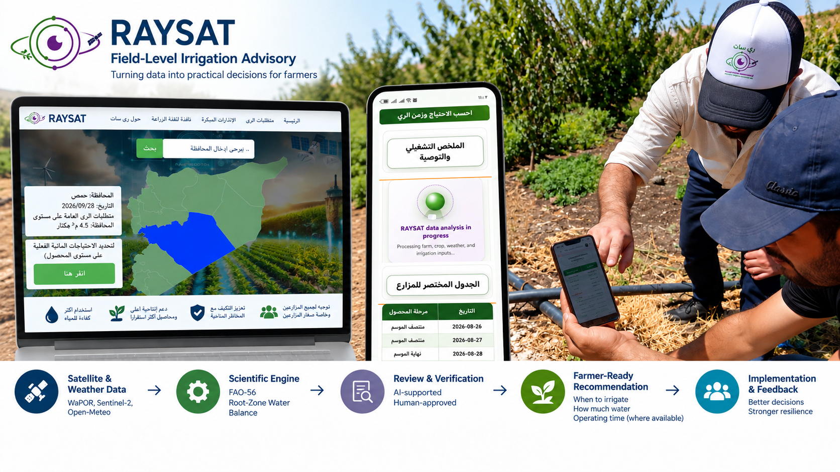
RAYSAT develops data-informed solutions for irrigation management and climate-resilient agriculture. Data and analysis stay in the background, while farmers receive clear decisions they can implement and follow up in the field.
General crop water requirement estimates by region, supporting water conservation awareness and serving farmers.
Use the public platform →Tailored recommendations connecting field, weather and remote sensing data with operational irrigation decisions, within controlled trial use.
Explore the scientific framework →Explore the suitability of conditions for sowing rainfed wheat in your area on an interactive map, using root-zone moisture and weather data. Results are regional and require field verification.
Explore the sowing calendar →Irrigation network design and assessment, hydraulic studies, energy solutions for irrigation projects and specialised training programmes.
Explore our services →The system brings together weather and satellite data, soil, crop and irrigation-system information, and field records, then turns them into actionable outputs after review.
Discover RAYSAT services
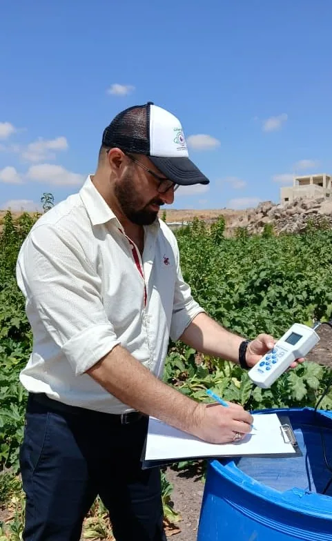
Contact the RAYSAT team to discuss your needs and the most suitable service or collaboration.