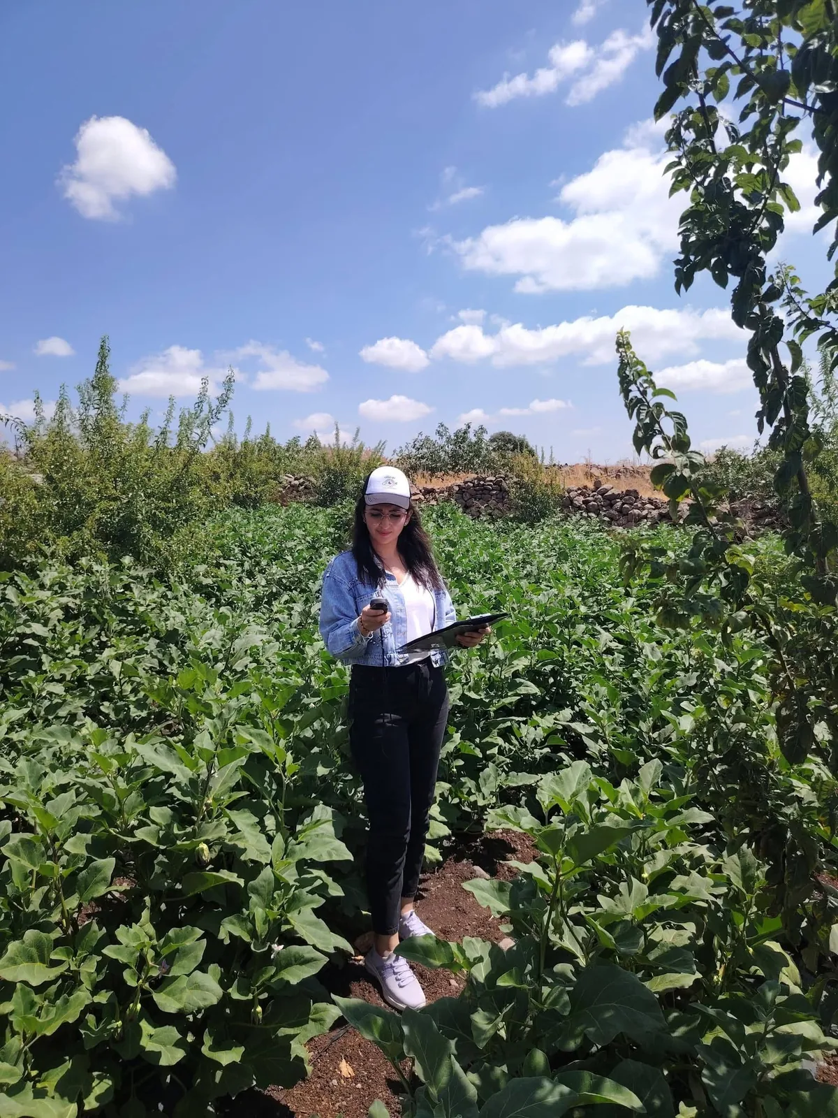
Eng. Manar Jamal
Co-Founder & COOField Operations, GIS & Farmer Service DeliveryGIS, field operations, farmer engagement and practical field implementation of RAYSAT services.
RAYSAT An agricultural general partnership registered under number 2366, developing irrigation management and climate-resilient agriculture solutions that turn advanced data into clear, actionable field decisions.
We have developed an integrated irrigation advisory system combining weather and satellite data with soil, crop and irrigation-system information, turning these inputs into practical recommendations that help farmers decide when to irrigate, how much water to apply and how long to run the irrigation system, alongside early warnings and advanced remote sensing analysis.
We work to make digital agriculture more accessible to farmers, supporting more efficient water use and better crop management, especially in environments facing water scarcity, climate change and data gaps.
The work of RAYSAT has received local and international recognition, including awards and acknowledgements through programmes and initiatives focused on agricultural innovation, digital transformation and climate solutions.
Learn more about RAYSAT and its work with farmers in the report published on the World Vision website.
A multidisciplinary team combining irrigation engineering, remote sensing, geographic information systems, fieldwork, computer engineering and artificial intelligence to turn complex agricultural data into clear, actionable field decisions.
GIS, field operations, farmer engagement and practical field implementation of RAYSAT services.
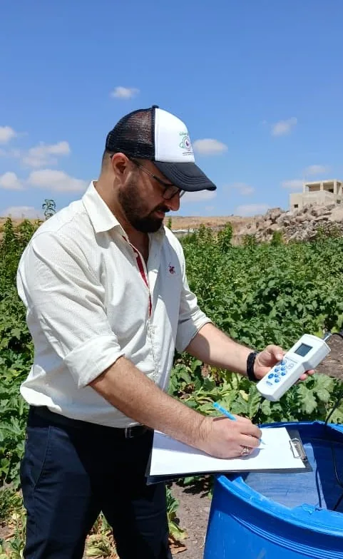
Irrigation engineering, crop-water science, remote sensing and scientific development of RAYSAT.
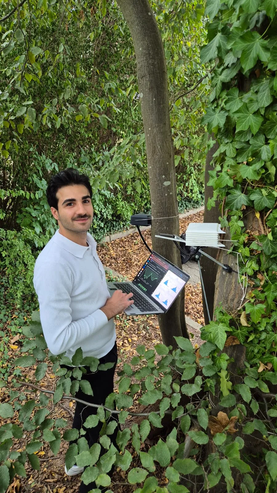
Software, automation, digital infrastructure and development of the technical systems supporting RAYSAT.